Follow Us
![]()

Tag Us!
#natureathome #calvertnaturally #calvertnaturesociety


|
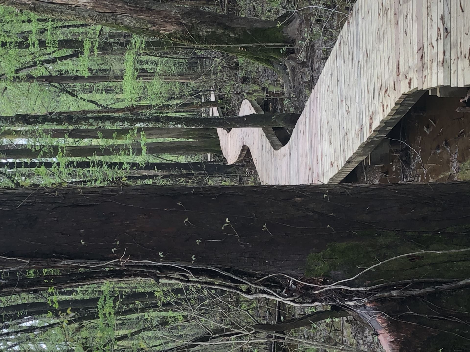
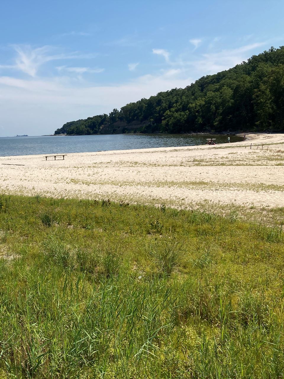
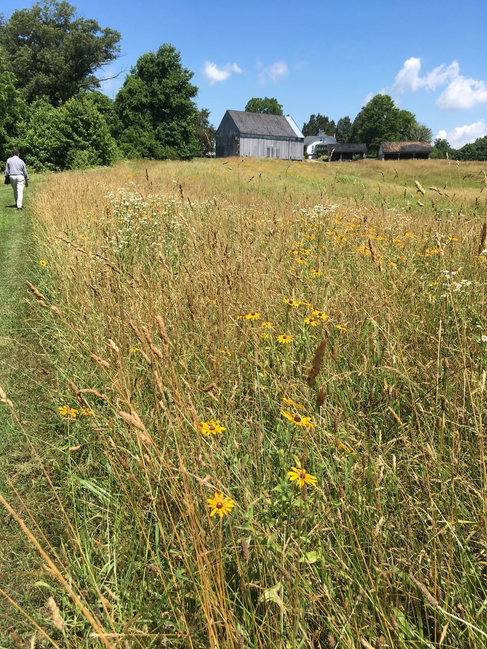
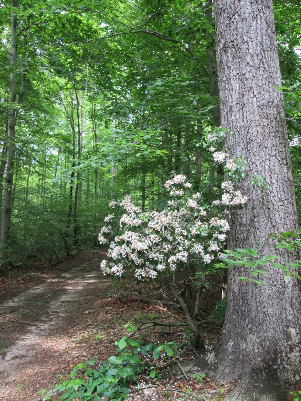
Time Lapse Photo StationsChronolog stations are a citizen science tool that helps make gradual environmental changes visible. Because long-term monitoring is often costly and complex, Chronolog offers a simple, collaborative solution: crowd-sourced time-lapse photography. By connecting communities with land stewards, Chronolog creates visual records of change in important natural areas. The mission is to engage people with nature in an interactive way and to document environmental change for scientific research. https://www.calvertcountymd.gov/3944/Time-Lapse-Stations Check out the Chronolog Sites: https://www.chronolog.io/project/CCG | Water AccessMobile Map Now AvailableWater Access & Local Amenities: A mobile friendly map will help paddlers, anglers, and others who enjoy the water discover other amenities found around the different water access locations. This includes restaurants, accommodations, heritage sites and other sites to continue their exploration of Calvert County . |